Lake
Kaindy lake
Southeast Kazakhstan • Kazakhstan • 1867 m
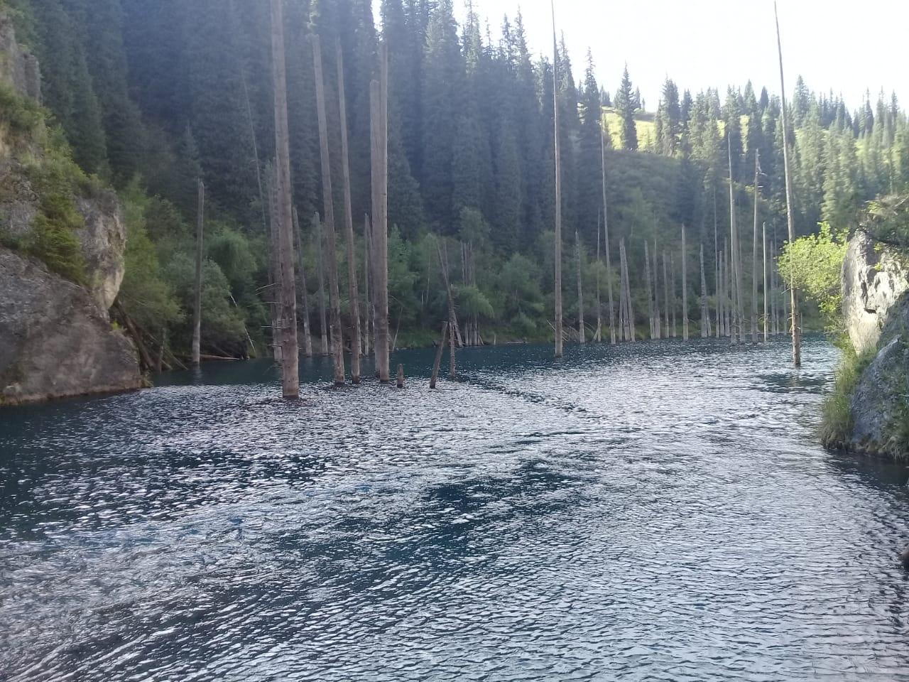
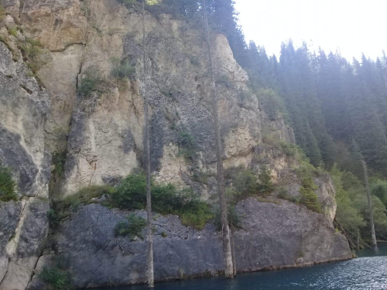
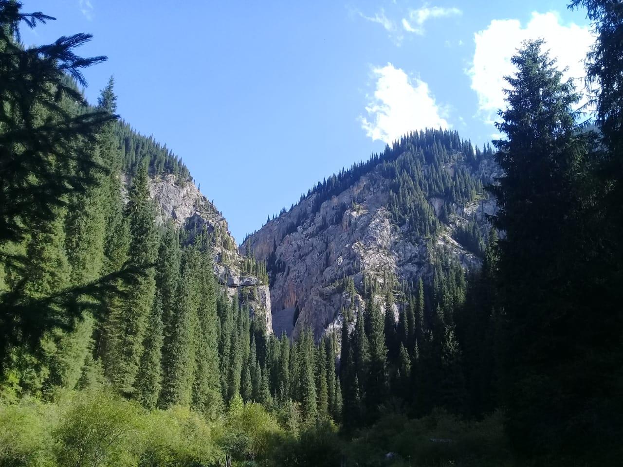
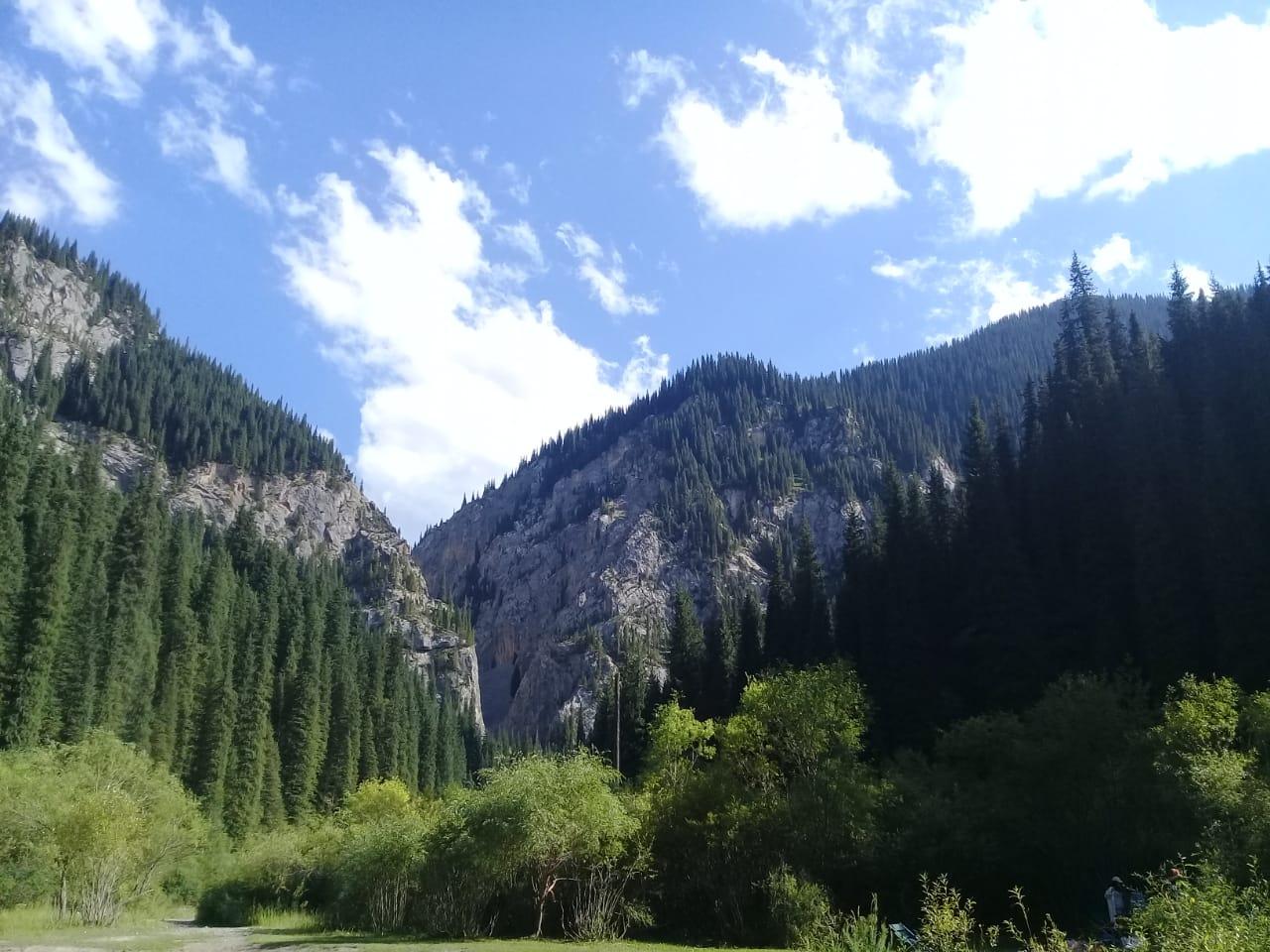
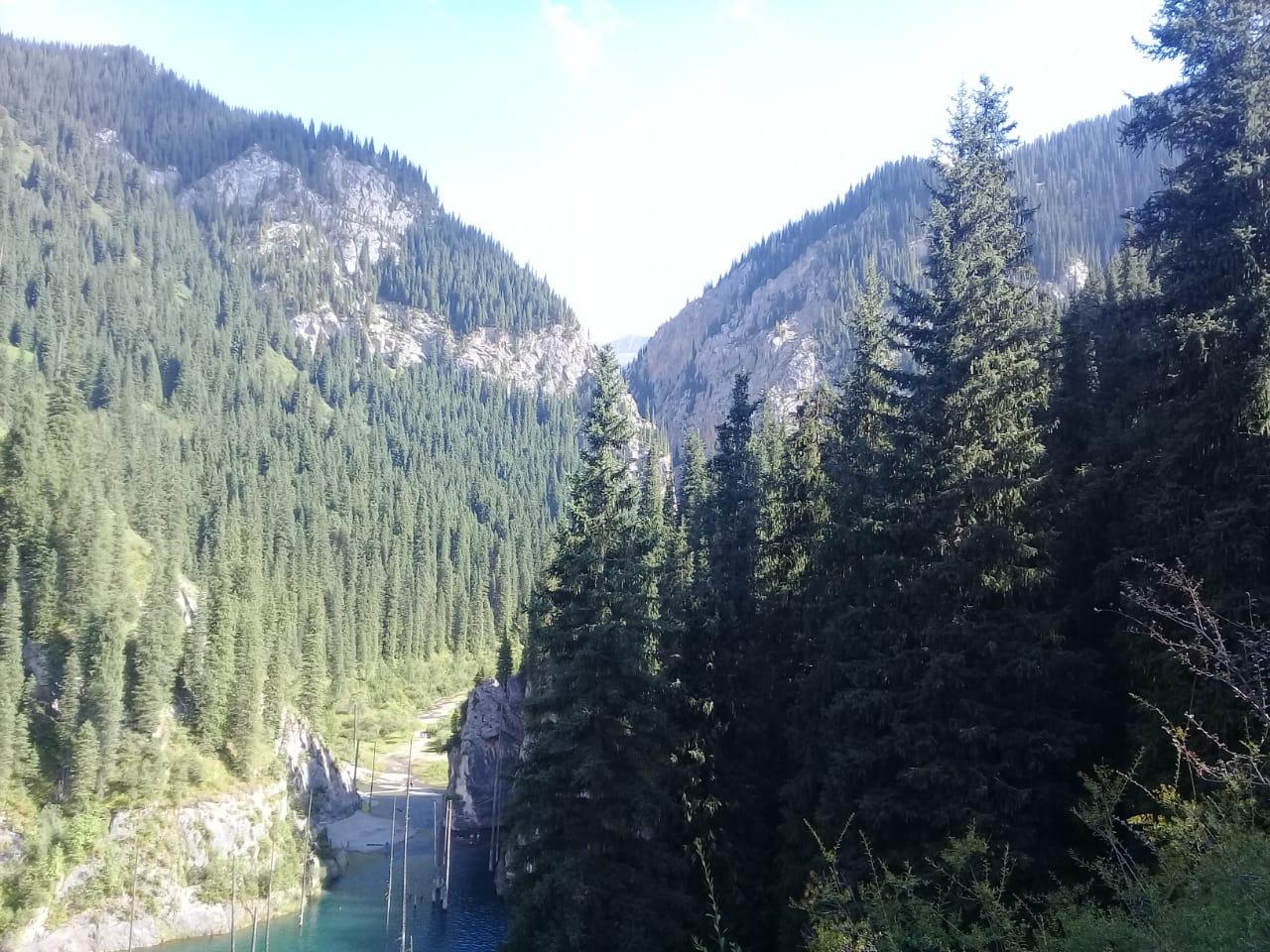
Kaindy Lake is located on the northern slope of the Kungei Ala-Too mountain range at an altitude of 1867 meters above sea level among a dense coniferous forest, which culminates at 2900 m. alt.. The top of the valley rises to nearly 3400 meters and marks the border with Kyrgyzstan. The bottom of the valley joins the village of Saty. Kaindy Lake lies in the second valley further east than the first lake Kolsay. The length of the lake is about 440 meters, by 110 meters wide , the greatest depth of the lake is 30 meters.
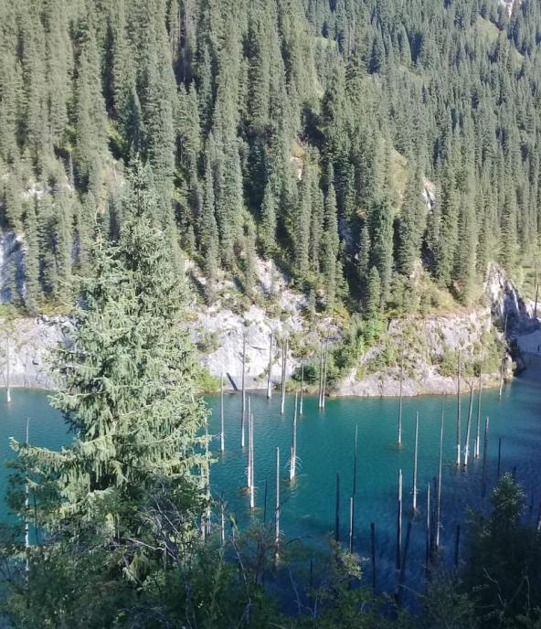
Translated from the Kazakh language, Kaindy means “Birch”. This name was given to the lake because of a large birch grove planted once by people five kilometers below the lake. The current size of the lake results of the Zhalanash-Tyup earthquake on March 25, 1978, with an amplitude of about 7 points. It seems that the lake appeared for the first time after the Kemin Earthquake in 1911. The age of the Schrenk and Tyan-Shan spruces in the lake is not clear. Some trees in the water have not yet rotted, but most of the rotten trees are under water. The peculiarity of this lake are the visible dry trunks that rise above the surface of a cold lake, giving it an amazing and unique appearance.